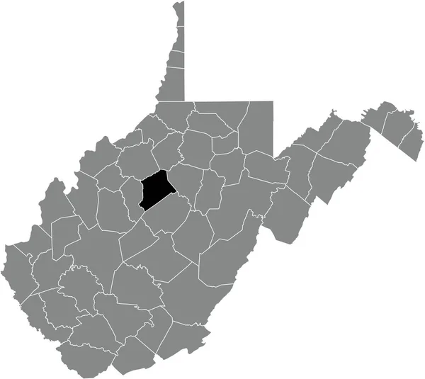
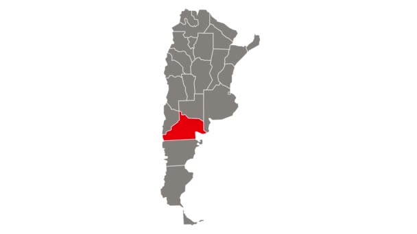
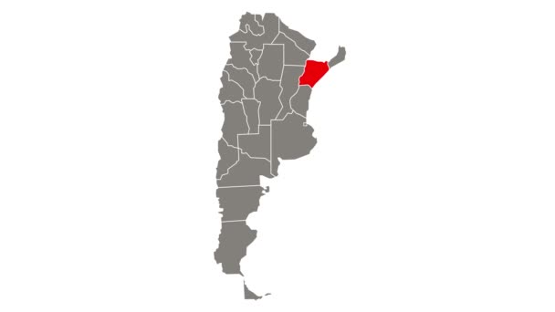
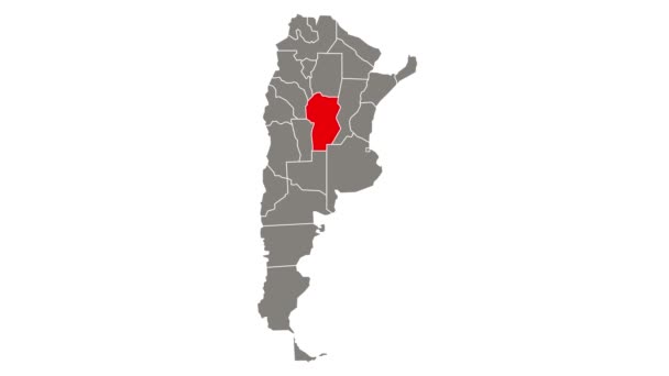
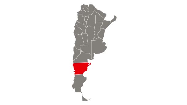
Black Highlighted Location Map Jefferson County Gray Administrative Map Federal —  Vetores de Stock

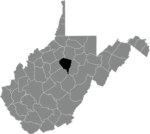
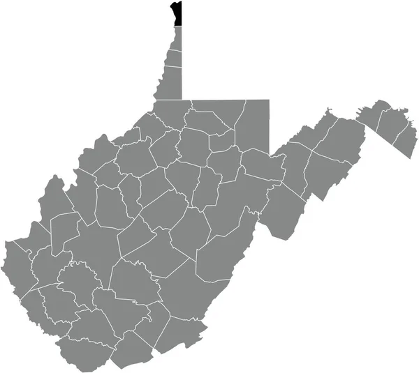
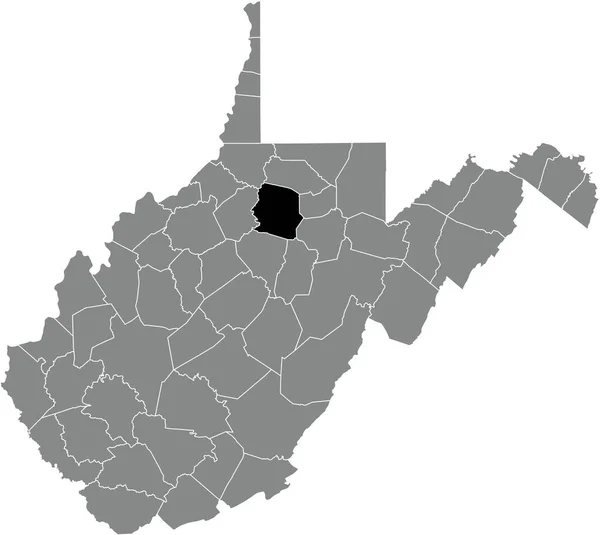
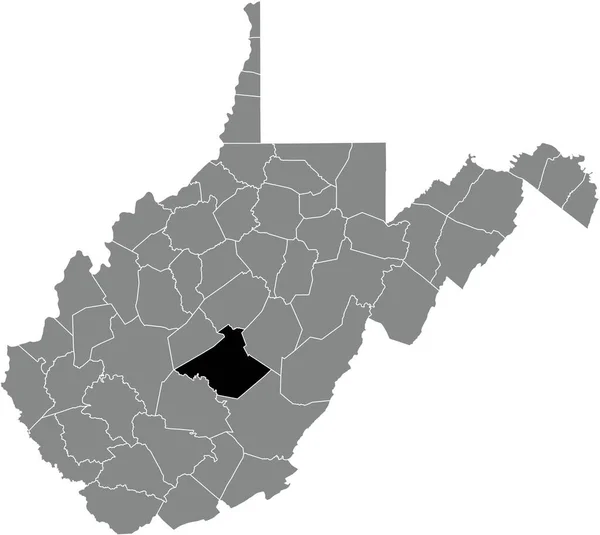
Black highlighted location map of the Jefferson County inside gray administrative map of the Federal State of West Virginia, USA — Vetor

Black highlighted location map of the Jefferson County inside gray administrative map of the Federal State of West Virginia, USA

 — Vetor de momcilo.jovanov

Mesma Série:

Black highlighted location map of the Wood County inside gray administrative map of the Federal State of West Virginia, USA
Black Highlighted Location Map Wood County Gray Administrative Map Federal —  Vetores de Stock
Black highlighted location map of the Grant County inside gray administrative map of the Federal State of West Virginia, USA
Black Highlighted Location Map Grant County Gray Administrative Map Federal —  Vetores de Stock
Black highlighted location map of the Lewis County inside gray administrative map of the Federal State of West Virginia, USA
Black Highlighted Location Map Lewis County Gray Administrative Map Federal —  Vetores de Stock
Black highlighted location map of the Mineral County inside gray administrative map of the Federal State of West Virginia, USA
Black Highlighted Location Map Mineral County Gray Administrative Map Federal —  Vetores de Stock
Black highlighted location map of the Roane County inside gray administrative map of the Federal State of West Virginia, USA
Black Highlighted Location Map Roane County Gray Administrative Map Federal —  Vetores de Stock
Black highlighted location map of the Kanawha County inside gray administrative map of the Federal State of West Virginia, USA
Black Highlighted Location Map Kanawha County Gray Administrative Map Federal —  Vetores de Stock
Black highlighted location map of the Hancock County inside gray administrative map of the Federal State of West Virginia, USA
Black Highlighted Location Map Hancock County Gray Administrative Map Federal —  Vetores de Stock
Black highlighted location map of the Fayette County inside gray administrative map of the Federal State of West Virginia, USA
Black Highlighted Location Map Fayette County Gray Administrative Map Federal —  Vetores de Stock
Black highlighted location map of the Harrison County inside gray administrative map of the Federal State of West Virginia, USA
Black Highlighted Location Map Harrison County Gray Administrative Map Federal —  Vetores de Stock
Black highlighted location map of the Pocahontas County inside gray administrative map of the Federal State of West Virginia, USA
Black Highlighted Location Map Pocahontas County Gray Administrative Map Federal —  Vetores de Stock
Black highlighted location map of the Randolph County inside gray administrative map of the Federal State of West Virginia, USA
Black Highlighted Location Map Randolph County Gray Administrative Map Federal —  Vetores de Stock
Black highlighted location map of the Logan County inside gray administrative map of the Federal State of West Virginia, USA
Black Highlighted Location Map Logan County Gray Administrative Map Federal —  Vetores de Stock
Black highlighted location map of the Nicholas County inside gray administrative map of the Federal State of West Virginia, USA
Black Highlighted Location Map Nicholas County Gray Administrative Map Federal —  Vetores de Stock
Black highlighted location map of the Clay County inside gray administrative map of the Federal State of West Virginia, USA
Black Highlighted Location Map Clay County Gray Administrative Map Federal —  Vetores de Stock
Black highlighted location map of the Wyoming County inside gray administrative map of the Federal State of West Virginia, USA
Black Highlighted Location Map Wyoming County Gray Administrative Map Federal —  Vetores de Stock
Black highlighted location map of the Gilmer County inside gray administrative map of the Federal State of West Virginia, USA
Black Highlighted Location Map Gilmer County Gray Administrative Map Federal —  Vetores de Stock

Informações de uso

Você pode usar esta imagem vetorial "Black highlighted location map of the Jefferson County inside gray administrative map of the Federal State of West Virginia, USA" sem royalties para fins pessoais e comerciais de acordo com a Licença Padrão ou Estendida. A Licença Padrão abrange a maioria dos casos de uso, incluindo publicidade, designs de interface do usuário e embalagens de produtos, e permite até 500 mil cópias de impressão. A Licença Estendida permite todos os casos de uso sob a Licença Padrão com direitos de impressão ilimitados e permite que você use os arquivos vetoriais baixados para mercadoria, revenda de produtos ou distribuição gratuita.

Esta imagem vetorial é escalável para qualquer tamanho. Você pode comprá-la e baixá-la em alta resolução até 5207x4647. Data do Carregamento: 29 de dez. de 2021